PSYCHICGAVIN – ORIGINAL COMMENT & IDEAS
Isn’t It Odd That We Still Can’t
Explore Antarctica Properly?
A constructive case for a detailed, accessible public map of the visible Antarctic surface
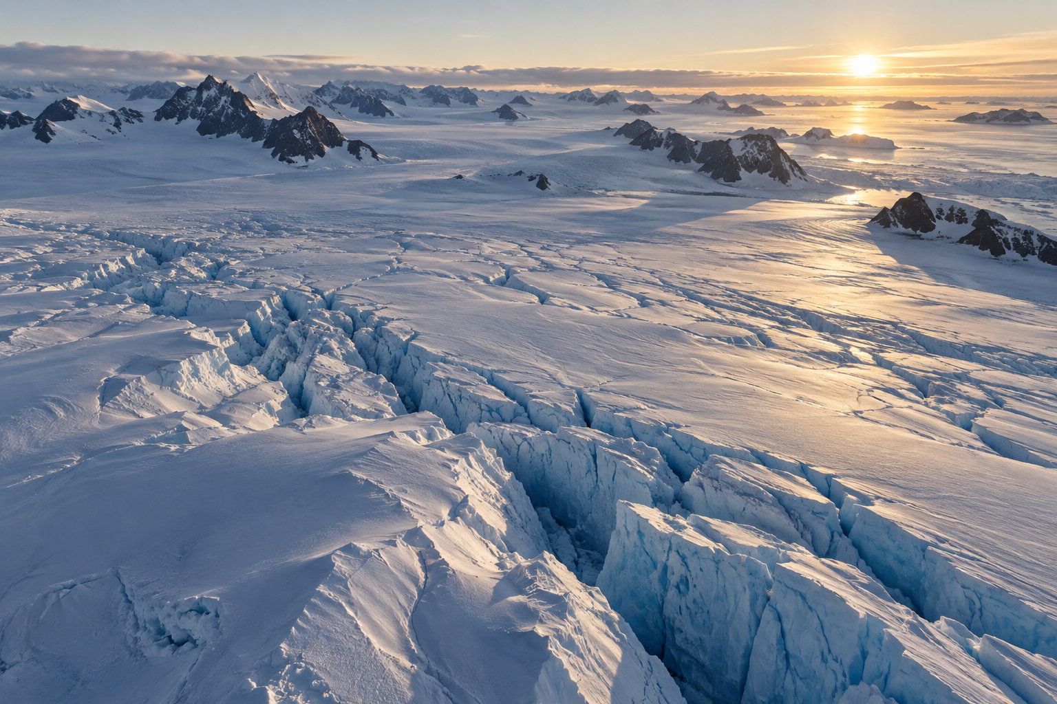
By Physical Trance Medium PsychicGavin
After asking his guides why we cannot properly view Antarctica’s
surface, he followed their guidance and uncovered why it should
genuinely be possible – 6th September 2026
www.psychicgavin.com – info@psychicgavin.com
The question
This enquiry began when I asked my guides a simple question: why, when so much of the world can be explored in extraordinary detail online, can we not properly view Antarctica’s surface? What followed was a line of questions and practical possibilities. By following their guidance and checking each obstacle against technology that already exists, I uncovered not proof of a hidden secret, but a strong case that a far more complete and accessible public view should genuinely be possible.
We can explore the surface of Mars. We can zoom into craters on the Moon, travel virtually through the Alps and examine streets, mountains, deserts and forests almost anywhere on Earth.
Yet we still cannot open one clear, detailed and easy-to-use public map and properly explore the entire visible surface of Antarctica.
| Isn’t that odd? |
|---|
Antarctica covers approximately 14 million square kilometres. It contains mountain ranges, volcanoes, enormous glaciers, blue-ice fields, crevasses, frozen lakes, exposed rock, meteorite-rich regions, historic expedition sites and landscapes unlike anywhere else on Earth.
Even without mysteries, conspiracy theories or extraordinary discoveries, the frozen surface alone would be fascinating. Surely somebody, somewhere, must have considered mapping and presenting it properly.
The public interest is already there
Antarctica already attracts worldwide attention through documentaries, news reports, scientific discoveries and online discussion. People are interested in:
– wildlife and climate change
– historic expeditions, lost ships and aircraft
– volcanoes, ice caves, meteorites and subglacial lakes
– mountain ranges and landscapes beneath the ice
– unusual formations seen in satellite images
– remote research stations
– places that very few people have ever visited
A programme called Antarctica Revealed could run for years. Each episode might cover a region, a mapping method, a scientific puzzle or an expedition. The finished imagery could then become an interactive platform: the documentary creates the audience, and the map gives that audience somewhere to continue exploring.
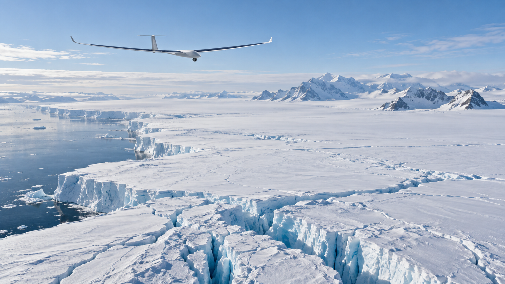
Editorial illustration: how a unified, layered public map of Antarctica might be presented.
The completed map could generate its own revenue
The documentary would be only one part of the project. A well-designed public map could support:
– advertising and sponsorship
– international broadcasting rights
– educational licensing
– premium high-resolution access
– virtual-reality experiences and exhibitions
– books, prints and wall maps
– university and commercial research access
– technology and satellite partnerships
A one-off £1 purchase by ten million people would produce £10 million in gross revenue. A free version supported by advertising or sponsorship could reach many more. Some proceeds could fund additional surveys, scientific work, environmental protection and regular updates.
No single revenue estimate proves the business case, of course. But given the global subject, the reusable imagery and the number of possible formats, isn’t it odd that the idea is not more visible?
Antarctica is protected – as it should be
Antarctica is not an ordinary filming location. Activities can require permits and environmental assessment. Authorities may consider pollution, disturbance to wildlife, contamination of pristine areas, protection of historic remains and the danger of rescue operations.
Those are genuine and reasonable concerns. But they are reasons to design the project properly – not necessarily reasons it cannot happen.
Match every restriction with a solution
Rather than treating every restriction as the end of the discussion, why not ask whether modern technology can satisfy the restriction while still allowing the surface to be mapped?
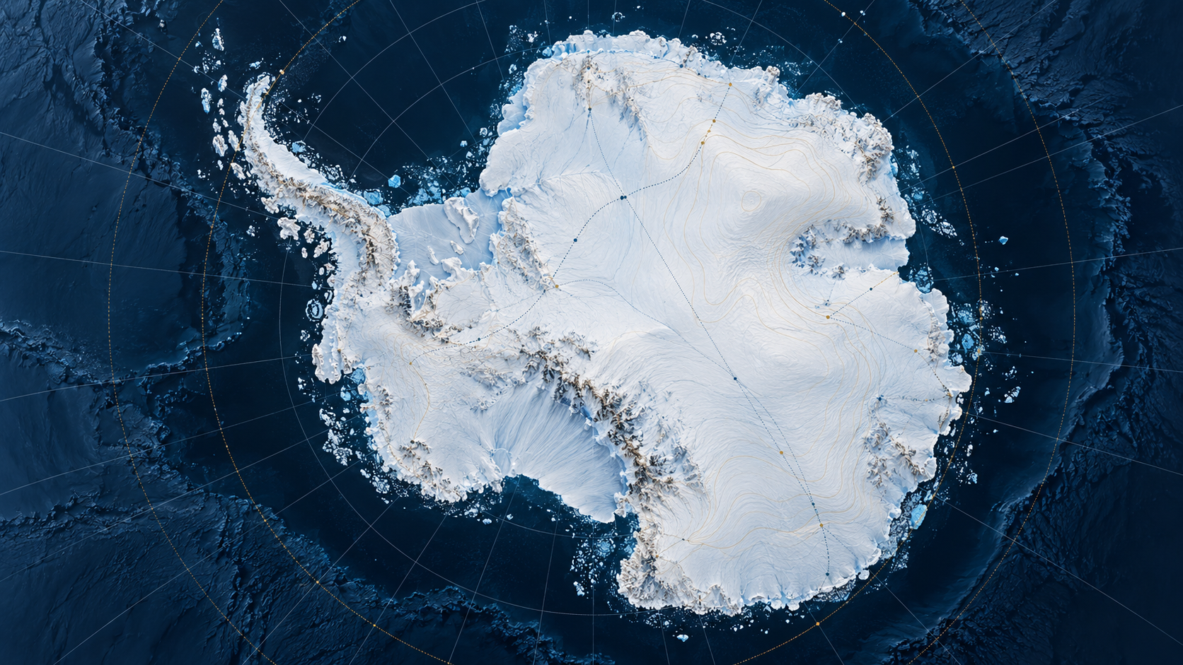
Editorial illustration: remote aerial surveying could reduce the need for people or vehicles to enter fragile areas.
“The work must have a compelling scientific purpose”
A consistent, detailed and accessible visual survey of a particular location is itself a scientific and educational purpose. In specially protected areas, an applicant may need to show that the work cannot reasonably be carried out elsewhere.
But mapping one location cannot be done somewhere else. A different glacier cannot supply a map of this glacier; another mountain cannot reveal the condition of this mountain; an equivalent ice field cannot record changes in the original one. The place and its present condition are the subject of the work.
That argument would not guarantee approval, but it directly addresses the requirement instead of avoiding it.
“Entry could contaminate a pristine environment”
Then do not physically enter it. Remote observation could combine:
– satellite photography and radar
– high-altitude autonomous aircraft
– long-range optical and thermal imaging
– aircraft launched from an existing station or vessel
– pre-programmed drones that never land in the survey area
If there are no boots, camps or vehicles on the ground, the contamination risk can be reduced dramatically.
“Drones could introduce foreign material”
Aircraft could remain airborne, launch and return from an approved location, and use tracking, redundancy and automatic return. A recovery plan could be required. Where even a remote chance of a crash is unacceptable, the same area could be assigned to a satellite or a higher-altitude platform. The safest method need not be identical at every site.
“Wildlife could be disturbed”
Plan surveys outside breeding periods; use satellites over colonies; impose altitude and distance buffers; choose quiet fixed-wing craft; and place wildlife specialists in charge of flight rules. Some sensitive sites may remain satellite-only.
Much of the high Antarctic interior does not contain penguin, seal or seabird colonies. Wildlife restrictions should therefore be applied specifically, not used as a blanket explanation for the whole continent.
“Historic sites and monuments are fragile”
They can be photographed without being touched. Long-range imaging and photogrammetry can create accurate three-dimensional records that:
– document present condition
– help detect deterioration
– allow virtual visits
– reduce pressure for physical tourism
– preserve a permanent visual record if the site later changes
Protection and visibility are not opposites. Careful remote documentation can support preservation.
“The area contains sensitive scientific experiments”
Coordinate with the researchers operating them. Passive optical photography may not interfere at all. If radio transmission is a concern, a craft can follow a preloaded route and store imagery onboard. Flights can use agreed altitudes, frequencies and time windows; pause during experiments; or be replaced temporarily by satellite observation.
If one small section must be blurred or delayed, show the surrounding landscape and explain the reason honestly.
“The expedition creates pollution”
A low-emission design could use public satellite data, electric or solar-assisted aircraft, autonomous fixed-wing craft, existing stations and vessels, renewable charging, and several carefully timed summer missions rather than one huge operation. The British Antarctic Survey has already tested uncrewed aircraft in Antarctica as part of lower-carbon science. Reduced-emission aerial research is not imaginary; it is developing now.
“The operation could create a rescue emergency”
Remove people from the most dangerous stages. Autonomous aircraft avoid pilot risk, and the loss of an unmanned craft is not the same as mounting a human rescue. Safety controls could include:
– redundant aircraft and navigation systems
– automatic return and satellite tracking
– strict weather windows
– predefined emergency landing areas
– recoverable survey sectors
– progressive routes that begin near existing support
“Commercial imagery cannot be released freely”
Build publication rights into the agreement from the beginning. Providers could receive revenue sharing, sponsorship recognition, premium subscriptions, educational or research licences, watermarked consumer imagery and documentary publicity. The project would not merely ask for free data; it could create a new market for it.
“Military or national-security locations must remain classified”
That is understandable. No public project should reveal sensitive equipment, communications or operational capability. Exact installations could be masked, shown at reduced resolution, represented by older approved imagery or protected by a tightly drawn boundary.
But stations, runways and other genuinely sensitive facilities occupy a minute share of a continent of roughly 14 million square kilometres. As a deliberately generous illustration, even if 2 per cent were withheld from detailed public display, the remaining 98 per cent would still be extraordinary. That is not a legal calculation – protected, scientific and security categories overlap and have different rules – but it exposes the scale of the opportunity.
| Protect what genuinely needs protection – and let the world see the enormous remainder. |
|---|
“Some locations cannot presently be surveyed”
Then be honest about the gaps. The map could distinguish areas that are:
– recently photographed
– represented by older imagery
– satellite-only
– surveyed by drone or aircraft
– modelled rather than photographed
– protected or temporarily withheld
– awaiting a future survey
A visible, honestly labelled gap is better than pretending a stitched mosaic is equally detailed everywhere. Each gap could become the subject of a future expedition and documentary episode.
Restrictions should shape the project – not automatically prevent it
The protections should remain. The project should be designed around them. If people cannot enter, observe remotely. If aircraft are inappropriate, use satellites. If radio transmission is unsuitable, store data onboard. If one season is sensitive, use another. If a small facility is classified, mask that facility rather than an enormous surrounding region.
And when an application says the research must be impossible to conduct elsewhere, remember: you cannot map a particular part of Antarctica somewhere else. Its identity, surface and condition are the subject.
Pair each genuine restriction with a proportionate solution, and a very large public survey becomes easier to imagine – while the areas that truly need special handling remain protected.
The technology already exists
No single machine has to do everything. A layered survey could combine existing systems:
– Sentinel and Landsat satellite imagery for continent-wide coverage
– REMA elevation data and Bedmap3 for terrain and the world beneath the ice
– autonomous aircraft for selected high-detail corridors
– solar high-altitude platforms for long-duration summer observation
– ground photography already collected around stations and established routes
The scale of drone coordination is no longer theoretical. A television investigation at Skinwalker Ranch reportedly flew a swarm of about 200 drones for an entertainment experiment. That does not prove such a swarm belongs in Antarctica, but it does show that coordinating large numbers of aircraft can be affordable enough for television.
Meanwhile, the solar-powered Zephyr high-altitude platform has demonstrated a continuous flight of 67 days. Antarctica’s summer daylight does not remove every engineering challenge – especially weather, cold and communications – but it makes long-duration solar observation a serious option worth testing.
Editorial illustration: Antarctica’s visible surface is compelling even before scientific data layers are added.
Allow the public to contribute to the research
An accessible platform could be more than a picture viewer. With scientific oversight, members of the public could help classify and compare imagery. Citizen-science tasks might include:
– marking crevasses or surface change
– comparing glacier margins across dates
– identifying exposed rock or meteorite-search zones
– cataloguing visible buildings and historic remains
– flagging image gaps or possible processing errors
Experts would verify results, but millions of interested eyes could help direct attention. The project could teach people how evidence is assessed instead of encouraging them to treat every unusual shadow as a discovery.
Show the surface – and what lies beneath it
The most compelling public platform would not stop at photography. It could let viewers move between several layers: the visible surface, elevation, radar-derived ice thickness and the bedrock landscape beneath the ice.
Projects such as REMA and Bedmap3 already provide major parts of this scientific picture. A simple slider could reveal how surface ice relates to buried mountains, deep basins and subglacial valleys. This would turn specialist data into something a school pupil, documentary viewer or curious adult could explore intuitively.
A credible project would admit what it is – and is not
This proposal is not evidence that authorities are hiding giants, cities, unknown species or a secret civilisation. Missing consumer imagery can result from cost, weather, clouds, darkness, changing ice, licensing, uneven survey priorities and the difficulty of stitching data from different dates and sensors.
Nor does “available data” mean one perfect photograph of every metre. Much Antarctic mapping is scientific rather than photographic, and resolution varies. The oddity is not that a complete image already exists and has certainly been concealed. The oddity is that nobody appears to have combined the best available material, filled the most interesting gaps and presented the result as one ambitious public experience.
So who will attempt it?
Perhaps the opportunity is being missed because responsibility is divided. Scientists collect data for research. Space agencies operate satellites. Antarctic programmes support national missions. Production companies make individual films. Technology companies build mapping platforms. Environmental authorities assess separate activities.
No one organisation naturally owns the whole idea. That suggests a partnership:
– Antarctic scientists define useful research questions
– environmental authorities set boundaries and operating rules
– space agencies and survey teams contribute approved data
– production companies tell the story
– technology partners build the public platform
– schools, museums and citizen scientists extend its value
– commercial partners help finance future coverage
Start with a transparent pilot region. Publish its environmental plan, data sources, resolution and gaps. Test public demand. Then expand only when the method proves safe and useful.
The simple question
We can explore Mars. We can examine the Moon. We have satellites, radar, autonomous aircraft, coordinated drones, solar platforms, elevation models and decades of Antarctic science.
Antarctica is difficult, protected and dangerous – and it should never be treated carelessly. Yet nobody has combined those protections and technologies into one complete, honest and compelling way for the public to explore as much of its visible surface as responsibly possible.
| Isn’t that odd – and wouldn’t it be amazing if somebody tried? |
|---|
About the author
 | PsychicGavin Physical & Trance Medium – Teacher – Healer – Events Medium PsychicGavin works across private readings, spiritual teaching and development, healing, and live mediumship and paranormal events. This article began when he asked his guides why, when so much of the world can be explored online, we still cannot properly view Antarctica’s surface. Following the channeled guidance he received led him into the practical research and possibilities presented here. www.psychicgavin.com |
|---|
THE FOUR AREAS OF PSYCHICGAVIN’S WORK
The four areas of PsychicGavin’s work
Written by Physical Trance Medium PsychicGavin after asking his Guides why we cannot properly view Antarctica’s surface and following their Channeled Guidance into the practical research behind this article – 6th September 2026.
www.psychicgavin.com – info@psychicgavin.com
Selected sources and starting points
These links are included as a practical reading list. They support examples of existing mapping, autonomous aircraft and public Antarctic governance; they do not imply endorsement of the proposal by the organisations named.
Antarctic Treaty Secretariat – Protected Areas and
Monuments
https://www.ats.aq/e/protected.html
British Antarctic Survey – First flights of uncrewed aircraft
in Antarctica
https://www.bas.ac.uk/media-post/first-flights-of-uncrewed-aircraft-in-antarctica/
British Antarctic Survey – Bedmap3
https://www.bas.ac.uk/project/bedmap3/
Copernicus – Sentinel-2 mosaic of Antarctica
https://sentinels.copernicus.eu/-/copernicus-sentinel-2-pieces-together-mosaic-of-antarctica
USGS – Landsat Image Mosaic of Antarctica
https://lima.usgs.gov/
Polar Geospatial Center – Reference Elevation Model of
Antarctica
https://www.pgc.umn.edu/data/rema/
AALTO HAPS – Zephyr 67-day continuous-flight record
https://www.aaltohaps.com/zephyr-sets-world-record-for-longest-continuous-flight-flying-67-days-in-stratosphere/
DroneLife – 200-drone Skinwalker Ranch demonstration
https://dronelife.com/2023/05/01/demonstrating-the-commercial-and-scientific-potential-of-drone-show-technology-on-the-secret-of-skinwalker-ranch/